
 Spanish

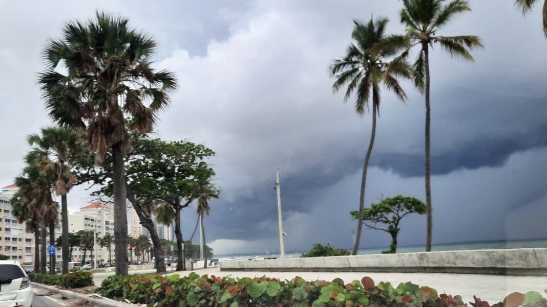

Santo Domingo.- The Dominican Institute of Meteorology (Indomet) reported that patches of clouds with passing showers will be recorded today in El Seibo, Samaná, Hato Mayor and Monte Plata. In the afternoon, a trough at high levels will favor cloud increases with moderate showers, electrical storms and wind gusts in San Pedro de Macorís, Santo Domingo, San Cristóbal, San José de Ocoa, La Vega, San Juan, Elías Piña and Dajabón.
The National District will present a grayish sky and scattered clouds, with a hot environment. In Santo Domingo Norte and Oeste, scattered to partly cloudy skies and possible isolated showers are expected; in Santo Domingo Este, grayish sky with scattered clouds. Minimum temperatures will range between 22 °C and 24 °C, and maximums between 33 °C and 35 °C.
In the Atlantic basin, Caribbean and Gulf of Mexico, Tropical Storm Erin is located about 2,592 km east of the Lesser Antilles, moving west at 35 km/h with maximum winds of 75 km/h and possible gradual strengthening. A non-tropical low southwest of Nova Scotia has a 10% chance of development in 48 hours. Another area associated with a trough in the north-central Gulf maintains shower and thunderstorm activity. Due to their position and distance, these systems do not pose a threat to the Dominican Republic.