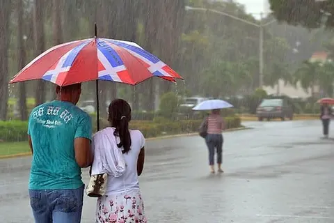
Santo Domingo, R.D. – The director of the Dominican Institute of Meteorology (Indomet), Gloria Ceballos, warned that significant rainfall will be recorded this Thursday in a large part of the Caribbean coast, mainly in the East and Southeast regions of the country, including Greater Santo Domingo.
The official explained that they are closely monitoring the evolution of a system of showers and thunderstorms associated with a tropical wave currently located near Puerto Rico, which could leave accumulations exceeding 200 millimeters.
You may be interested in: http://COE maintains nine provinces on yellow alert and seven on green alert due to trough effects
In a telephone conversation, while heading to a meeting with the technical team of the Indomet Forecast Center, Ceballos indicated that the tropical wave, combined with a trough at different levels of the troposphere, generates conditions of abundant humidity and instability that favor intense rainfall.
According to reports, thunderstorms have been observed since the morning over the east and northeast coast of the territory, progressively moving towards the southeast and the central area of the country.
The Indomet weather bulletin states that in the afternoon and evening, showers, accompanied by electrical discharges and wind gusts, will intensify in provinces such as La Altagracia, El Seibo, Hato Mayor, San Pedro de Macorís, Duarte, María Trinidad Sánchez, Monte Plata, San Cristóbal, Espaillat, Puerto Plata, Peravia and Gran Santo Domingo, also extending towards Monseñor Nouel, San José de Ocoa, La Vega, Santiago, Santiago Rodríguez, Barahona, San Juan, Elías Piña and Independencia.

 Spanish


