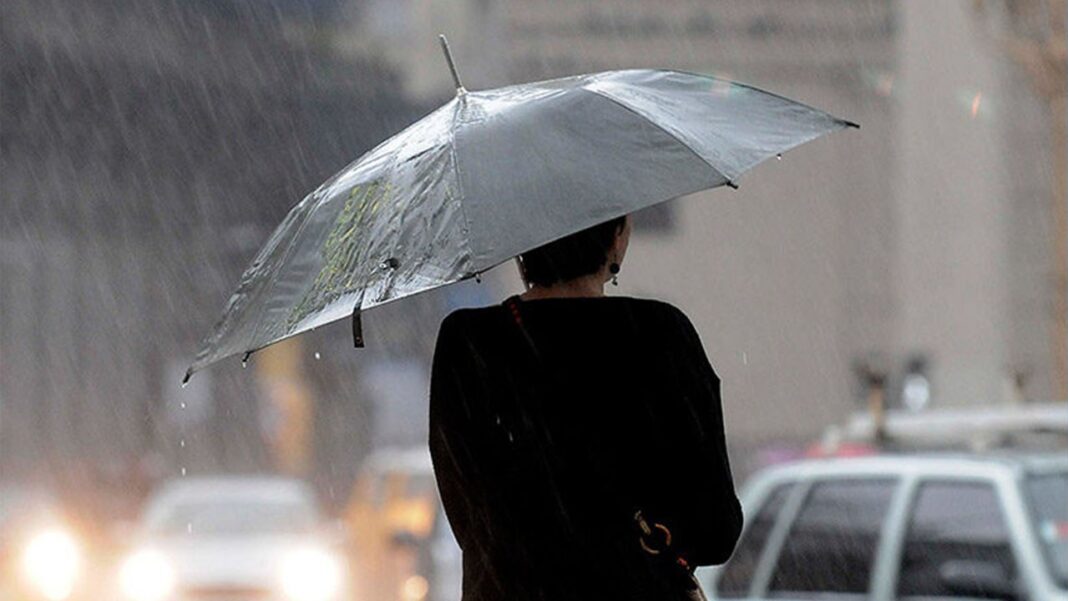
Santo Domingo.– Although the trough affecting the national territory remains active, its effects will be limited this Thursday due to the low moisture content in the air mass, according to the report from the National Meteorological Office (Onamet). This will allow for a mostly sunny environment with scattered clouds, although isolated showers and sporadic thunderstorms are not ruled out in the afternoon.
Among the provinces with the highest probability of rainfall are Hato Mayor, Monte Plata, La Vega, Monseñor Nouel, Azua, San Juan, Dajabón and Elías Piña, where some instability is expected until the early hours of the night, due to daytime heating.
You may be interested in: Trough will continue generating rainfall in several provinces of the country
For tomorrow Friday, the passage of tropical wave number 7, added to the trough at high levels, will slightly increase the humidity. This will cause morning cloudiness with passing showers in areas of the east such as La Altagracia, La Romana, San Pedro de Macorís, San Cristóbal and Gran Santo Domingo. In the afternoon, the rains will extend again towards the southwest, the Central mountain range and the border area.Extreme heat and Saharan dust
The temperatures will remain high, with highs between 32 °C and 34 °C and lows between 21 °C and 23 °C, which will maintain a quite hot thermal sensation. Onamet recommends adequate hydration, wearing light-colored clothing and avoiding direct sun exposure between 11:00 a.m. and 4:00 p.m. In addition, the sky will remain grayish and opaque due to the presence of Saharan dust, a phenomenon that can also cause respiratory discomfort in sensitive people.Forecast by demarcation:
- National District: Scattered clouds with occasional increases and isolated showers. Grayish sky.
- Santo Domingo North: Scattered clouds and possible light rain.
- Santo Domingo East and West: Scattered clouds with a gray sky due to Saharan dust.

 Spanish


