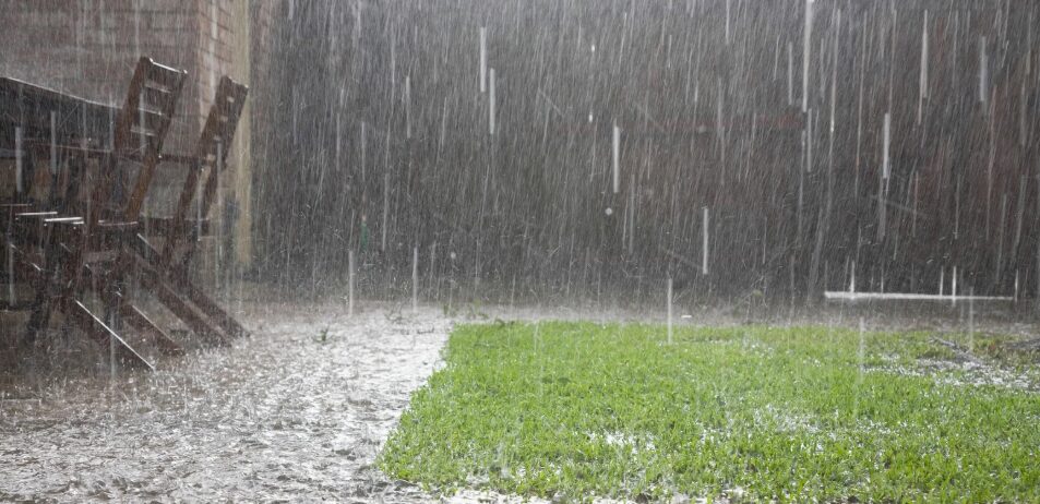
Santo Domingo.– The Dominican Institute of Meteorology (Indomet), reports that a trough located over the northwest portion of the country, in combination with a frontal system located over the Bahamas, is generating since the early hours of this Monday, January 5th, intense cloudiness accompanied by showers, electrical storms and wind gusts in several provinces of the national territory.
According to the report, the most significant rainfall is recorded in Monte Cristi, Puerto Plata, Elías Piña and San Juan, while less intense precipitation occurs in Espaillat, María Trinidad Sánchez, Dajabón, Santiago Rodríguez, Valverde, Santiago, Independencia, Bahoruco, Pedernales and Barahona. During the course of the day and well into the night, the showers will continue to extend towards provinces such as La Vega, Monseñor Nouel, San Cristóbal, San José de Ocoa, Sánchez Ramírez, Hermanas Mirabal, Duarte, Monte Plata, Hato Mayor, Azua, San Juan, Independencia, Baoruco, Barahona and Gran Santo Domingo. In the east of the country, locations such as La Altagracia, La Romana and El Seibo will also feel the effects of the system.In the National District and Santo Domingo province, cloud cover increases are expected during the afternoon and night, with local showers, possible thunderstorms, and isolated wind gusts.Faced with this situation, the authorities are keeping two provinces under meteorological alert, specifically Monte Cristi and Puerto Plata, due to the risk of urban flooding.
You may be interested in: COE issues green alert for Montecristi and Puerto Plata due to trough
For tomorrow, Tuesday, meteorologists predict that both the trough and the front will begin to move away from Dominican territory, which will allow a gradual decrease in humidity and rainfall. However, scattered showers are forecast in the morning in areas near the Atlantic coast and isolated showers in the afternoon in provinces of the east, the Central Mountain Range and Greater Santo Domingo. For Wednesday, a notable reduction in rainfall is expected, with mostly sunny skies and only isolated, short-lived showers, due to the northeast wind associated with a high-pressure system over the Atlantic.
 Spanish


