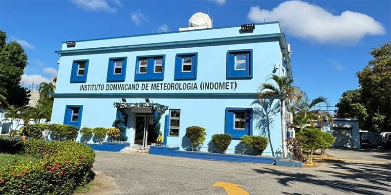
Santo Domingo.- The Dominican Institute of Meteorology (Indomet) reported that for this Monday the weather conditions will be dominated by the humidity left after the passage of a tropical wave over Cuba and the effects of a trough aloft, which will keep the atmosphere humid and unstable over a large part of the national territory.
From early morning and the first hours of the morning, scattered showers with possible thunderstorms are expected in provinces of the East and Northeast such as La Romana, La Altagracia, El Seibo, Hato Mayor, Samaná and María Trinidad Sánchez.
In the afternoon, the evening heat will combine with instability, generating more frequent showers, thunderstorms, and wind gusts in provinces of the East, the Central Cibao, the border area, the South, and Greater Santo Domingo.
The demarcations with the highest incidence include: La Altagracia, San Pedro de Macorís, Monte Plata, Duarte, Sánchez Ramírez, La Vega, Monseñor Nouel, San Cristóbal, San José de Ocoa, Santiago, Hermanas Mirabal, Espaillat, Azua, San Juan, Independencia, Bahoruco, Pedernales, Valverde, Santiago Rodríguez, Monte Cristi, Elías Piña and Dajabón.
In the night, rainfall will gradually decrease, although isolated showers will remain in coastal areas.
High temperatures
Indomet warned that temperatures will continue to be stifling, with maximum values between 33 °C and 35 °C and minimums of 22 °C to 24 °C. The thermal sensation will be higher due to the combination of humidity and warm east/southeast wind. The population is advised to stay hydrated, wear light-colored clothing, seek out ventilated places, and avoid direct sun exposure between 11:00 a.m. and 4:00 p.m. Children, the elderly, and vulnerable people should receive special care. Forecast for Greater Santo Domingo • National District: cloudy increases with showers and occasional thunderstorms. • Santo Domingo North, East and West: similar conditions with possible wind gusts.
 Spanish


