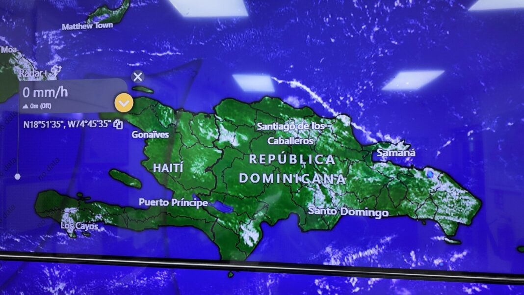
Santo Domingo.– This Saturday, the national territory awoke with scattered cloudiness and high temperatures, but a change in weather conditions is expected in the afternoon, due to the dragging of humidity by the east/southeast wind, added to the influence of a weak trough.
These factors will cause cloud cover increases with scattered showers, thunderstorms, and isolated wind gusts in provinces of the northeast, southeast, north, the Central Mountain Range, and the border area.
Among the areas most likely to receive rainfall are El Seibo, Hato Mayor, La Romana, San Pedro de Macorís, Monte Plata, Sánchez Ramírez, Samaná, Duarte, Puerto Plata, Espaillat, La Vega, Monseñor Nouel, Santiago, San Juan, Elías Piña and Santo Domingo Norte, among others. These rains will last until the early hours of the night.
During the day, temperatures will remain hot, becoming more pleasant at night, dawn, and early morning, mainly in mountainous areas and inland valleys, where fog banks could form.
Similar conditions will persist for Sunday. The wind will continue to transport moisture from the Caribbean Sea, maintaining an environment conducive to occasional cloudiness with showers, thunderstorms, and wind gusts, especially in the afternoon hours in provinces of the northeast, southeast, Cordillera Central, and the border area.

 Spanish


